|
The library holds a collection of hardcopy maps of local and national regions. To find these maps open Library search, type your region name, and limit the search to the Content Type - Map. |
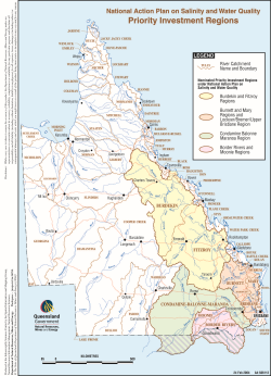
Digital and hardcopy maps of local and national regions are available for your use. These maps include elevation, vegetation, catchments, water, rainfall, soils, roads and more.
Key resources for digital maps include:
- National Map
- The initiative gives users access to a single platform for Government geospatial datasets, including those from the Bureau of Meteorology, Australian Bureau of Statistics and data.gov.au.
- The geospatial data is visually presented in a map format, enabling users to see the data that they extract. Currently available datasets cover information on land, water, infrastructure, broadband access, boundaries and population
- Bureau of Meteorology
- Weather maps for Australia (average and recent), including rainfall, temperature, humidity, wind, sunshine and storms.
- Geoscience Australia
- Geoscience Australia is the national government agency for geoscience in Australia. It provides national static and interactive maps incorporating geothermal, geological, geophysical and topographic data. Includes interactive maps.
- Queensland Government data
- Combines information from community data and public transport with flood maps. This source also includes the Queensland Spatial Catalogue (QSpatial).
Last modified: Monday, 21 May 2018, 5:30 PM